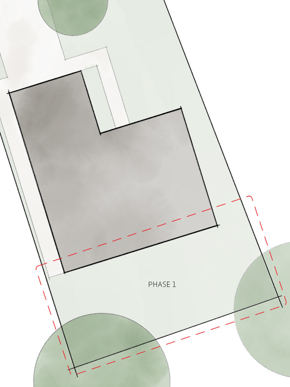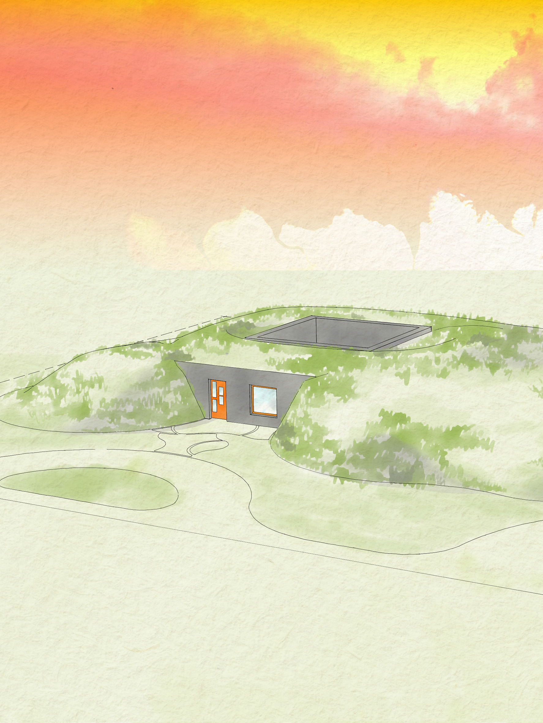
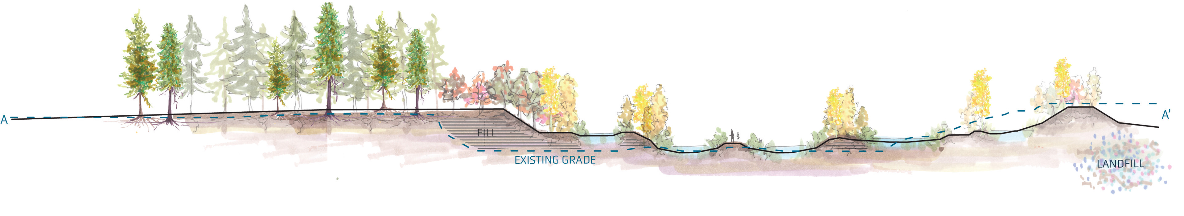
The site was an existing public park, capped landfill, and public green waste dump.
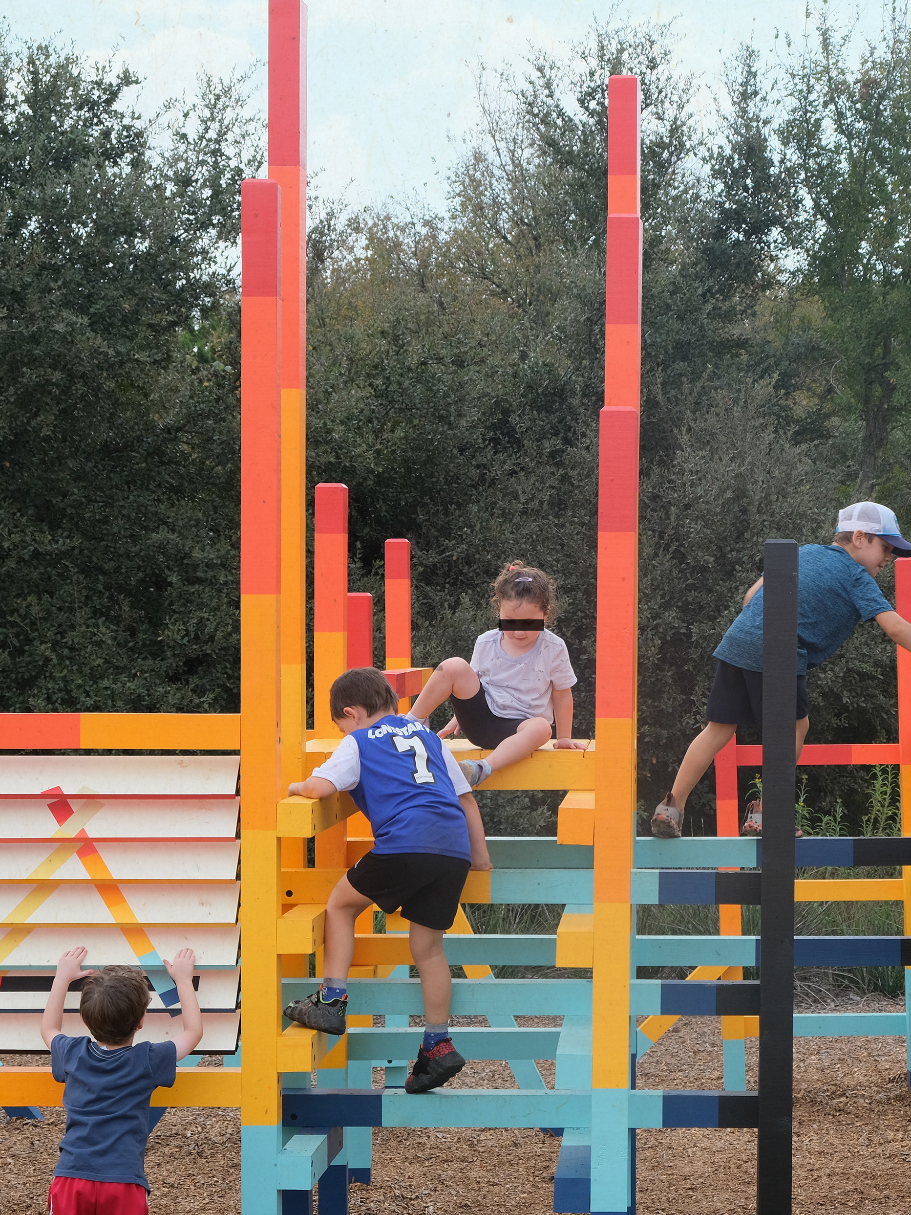
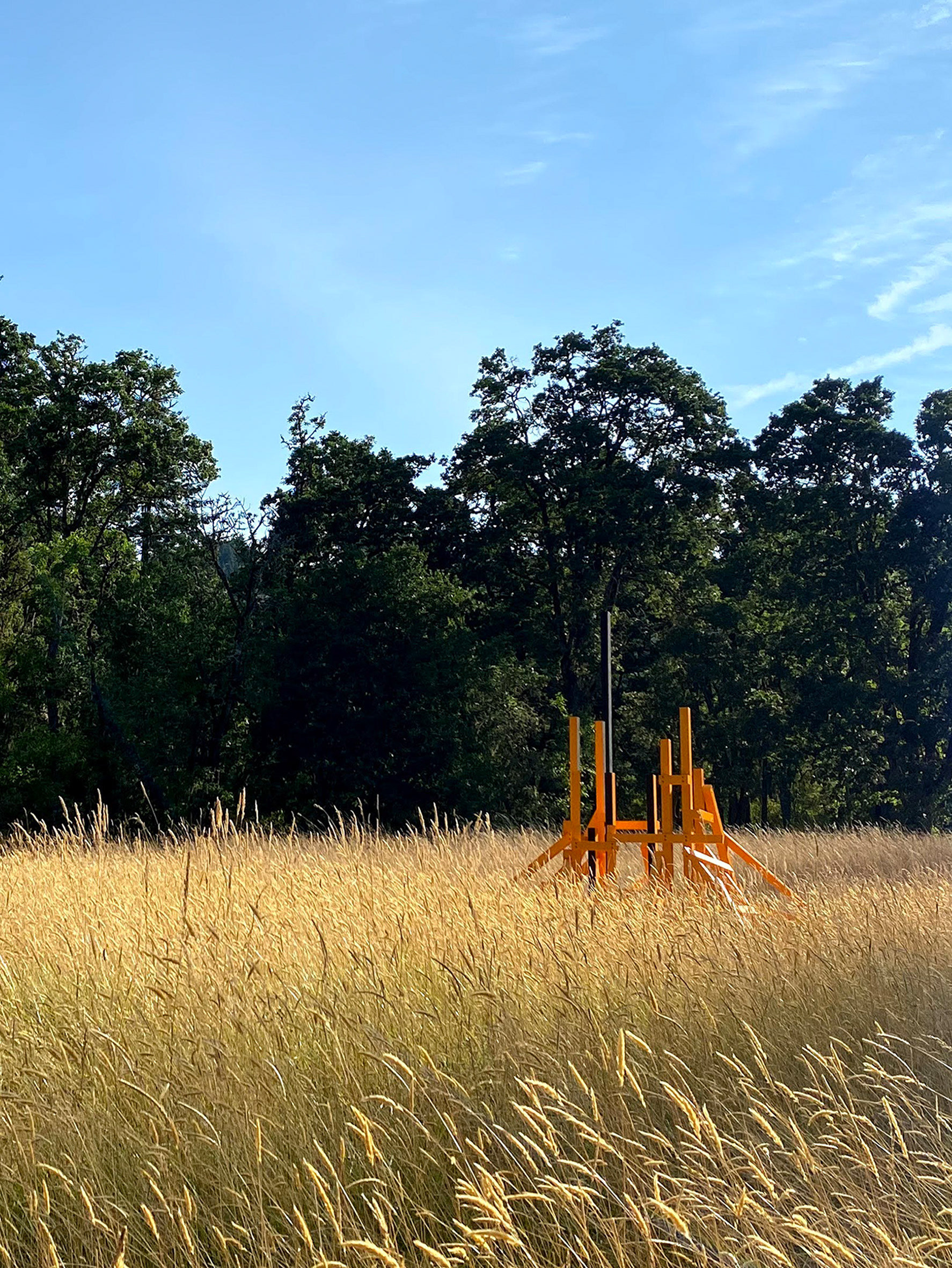
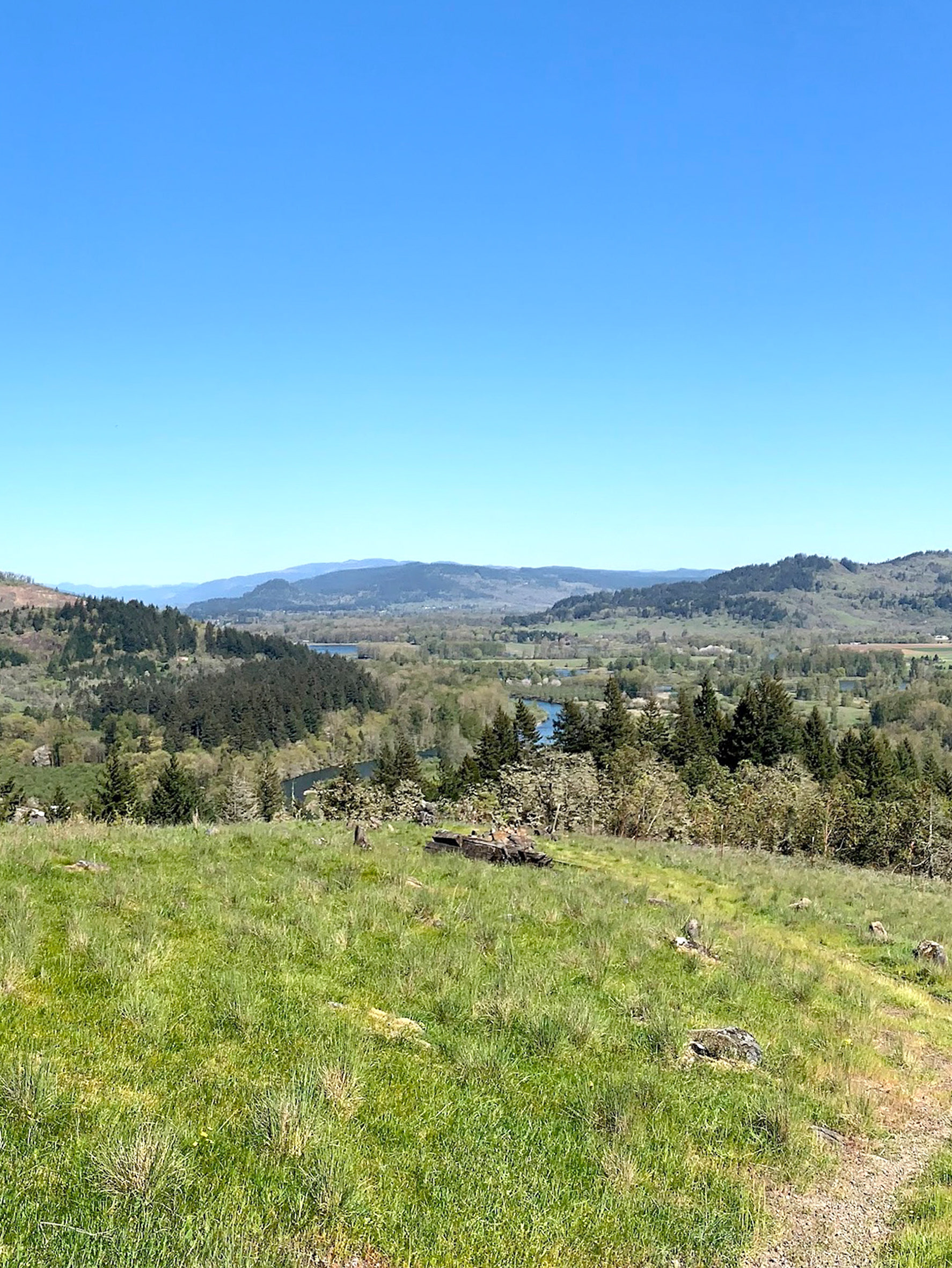
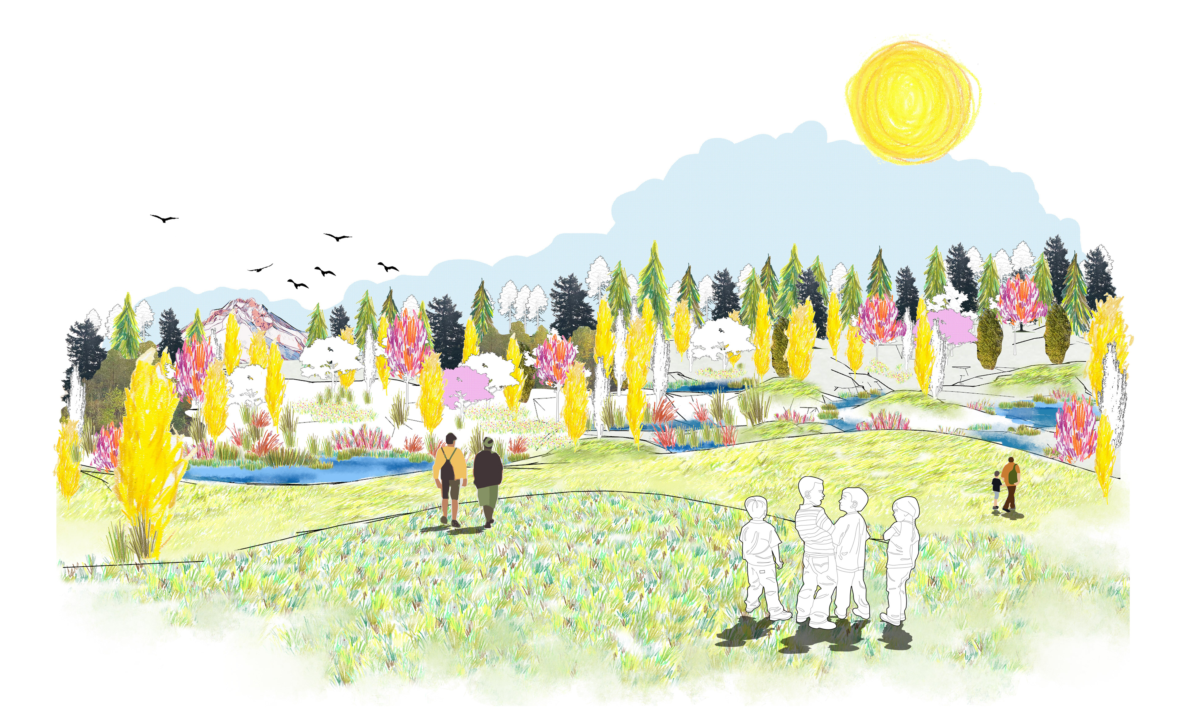
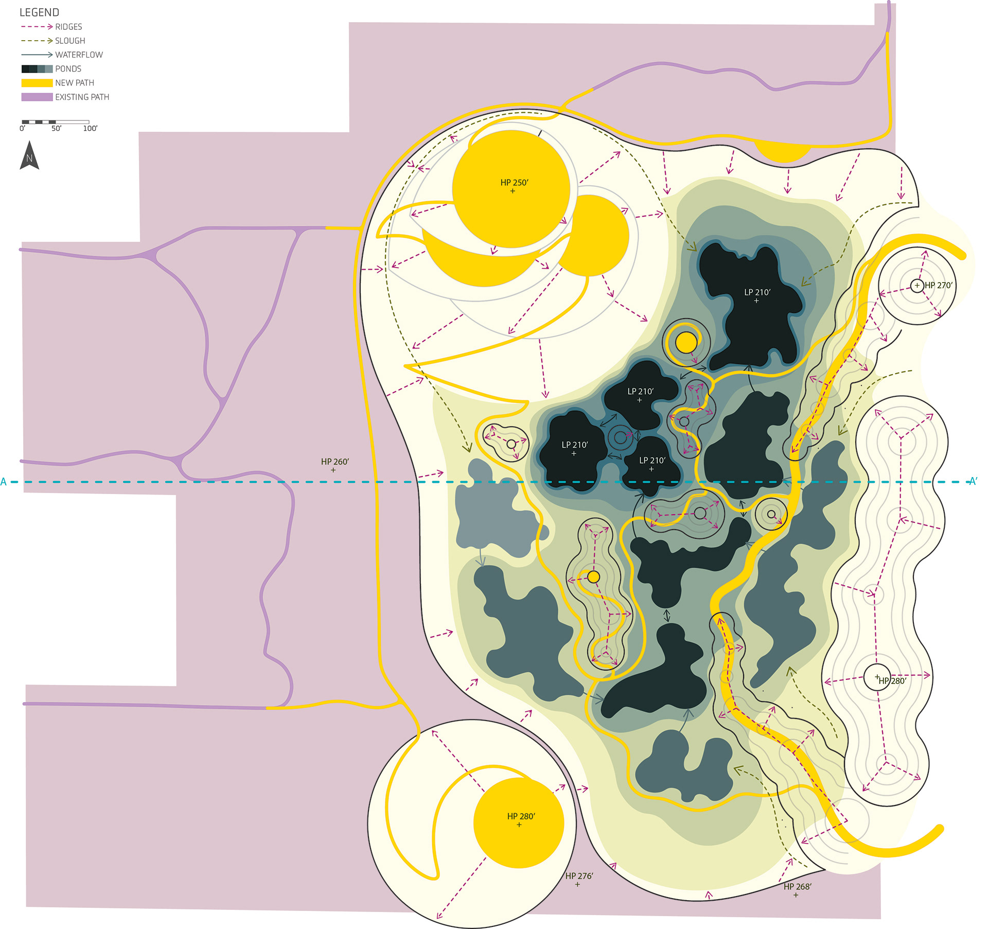
This design embraces the depth of the site and focuses on expanding public access and treating water. The landforms to the east of the site frame the view of Mt. Hood from the central outlook, while mini mounds throughout the site mimic the Cascades. New pathways formally connect the neighborhood to the north of the site with the park. Accessible paths meander throughout the site and more challenging routes are available. The sequence of ponds filter stormwater and encourage biodiversity.
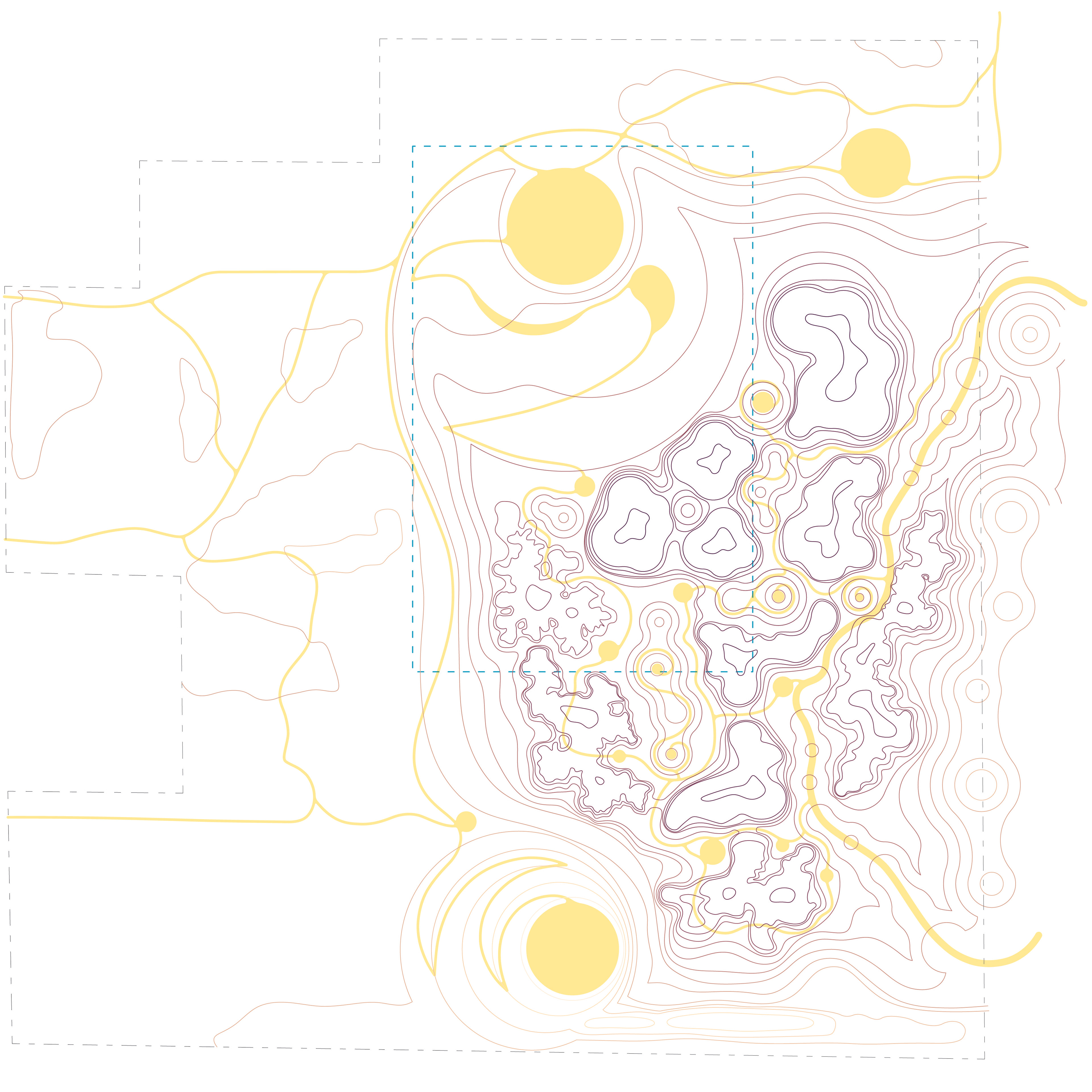
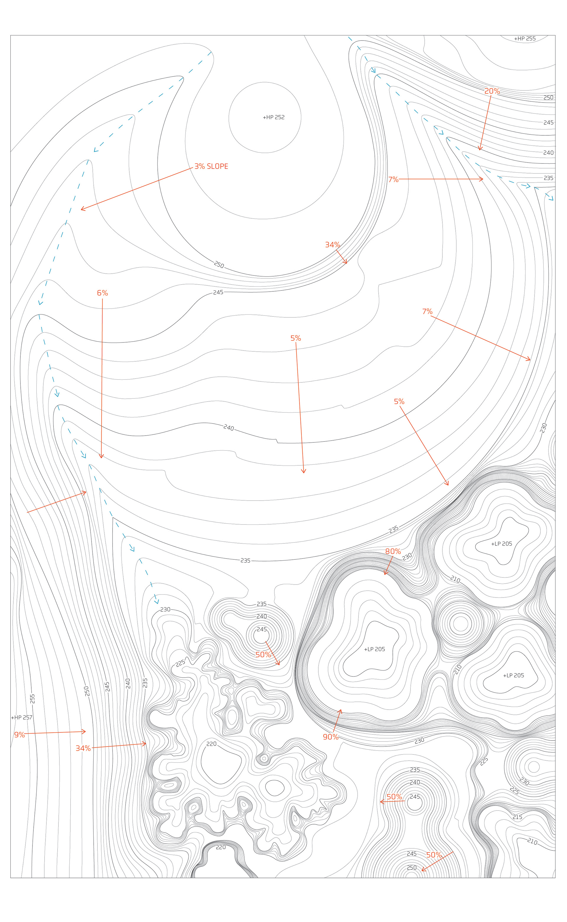
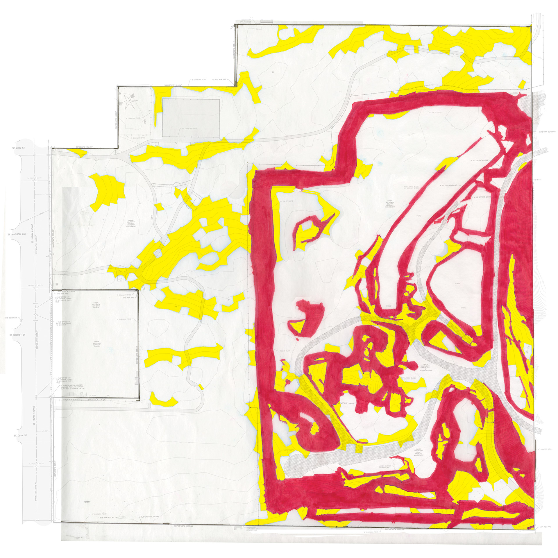
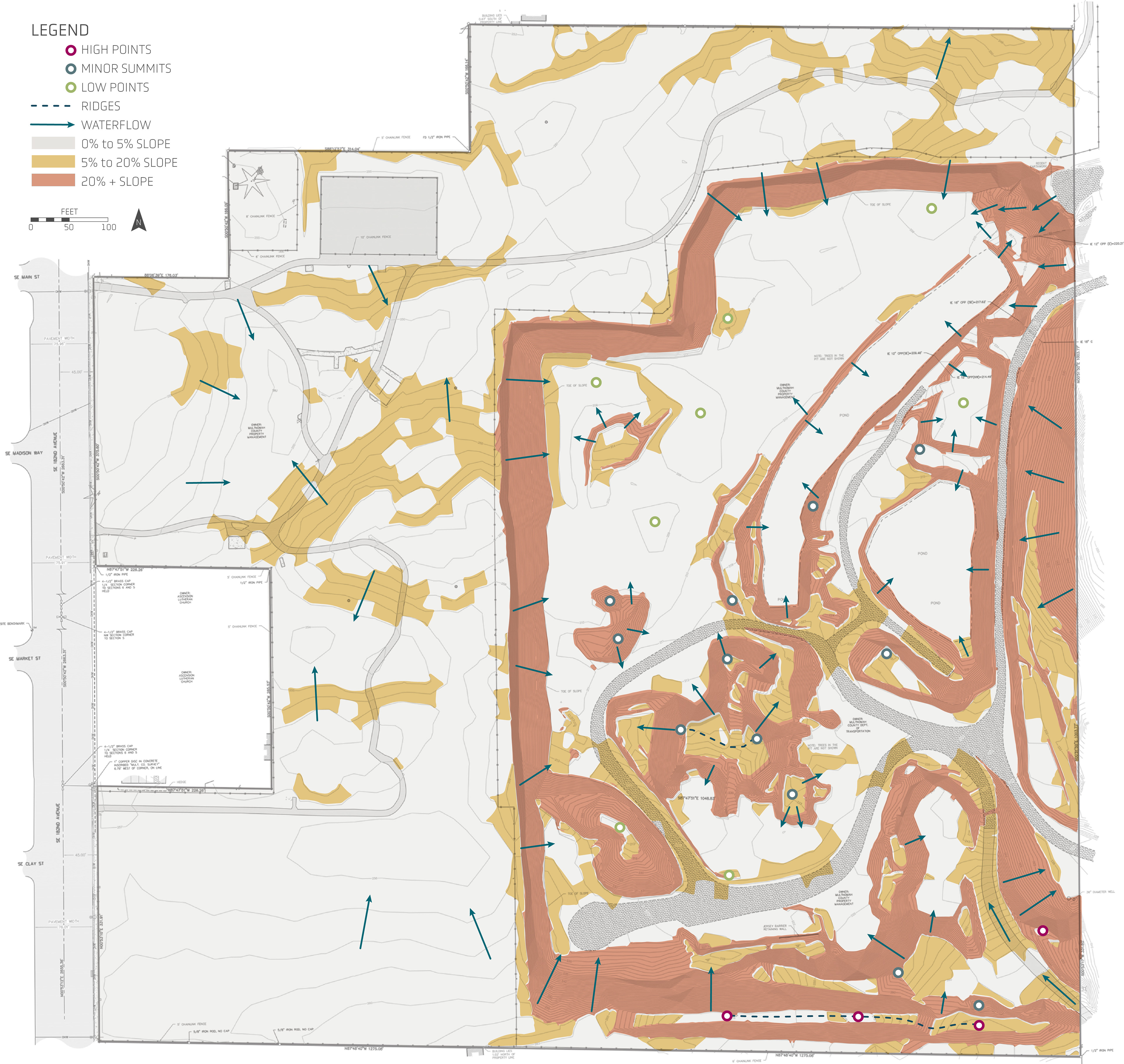
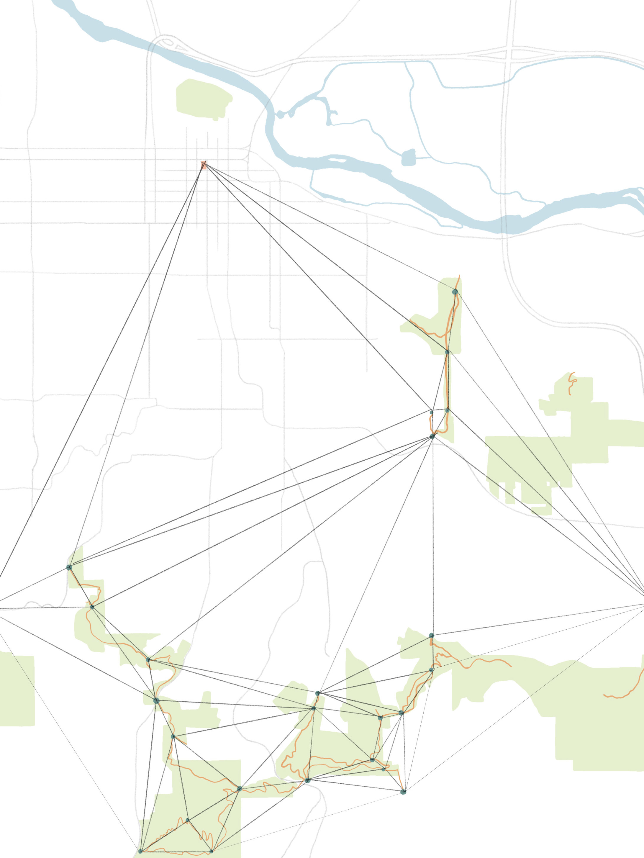
SITE ANALYSIS
With a focus on landform, we evaluated the existing grade based on contour map.
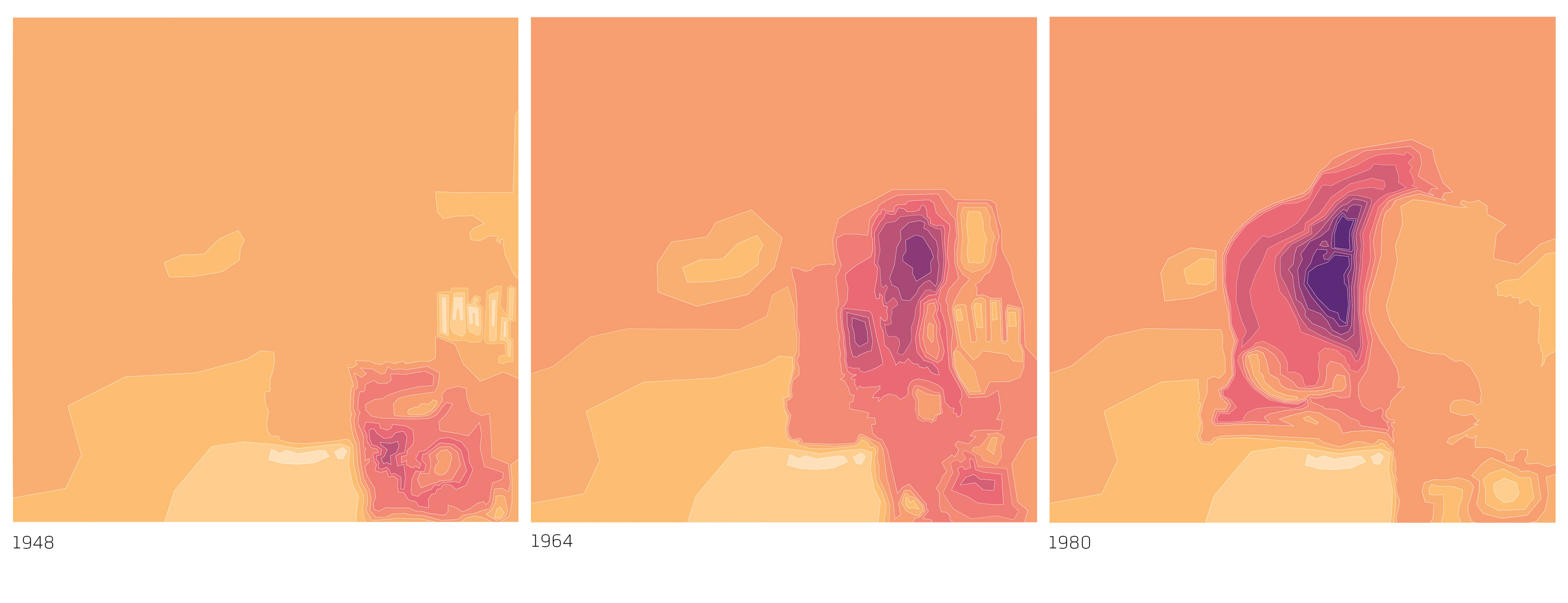
We also created contour maps from historic aerials.